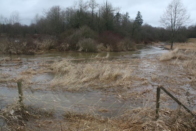
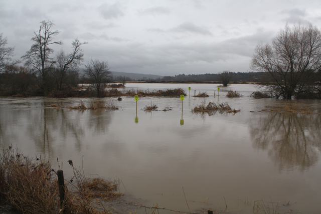
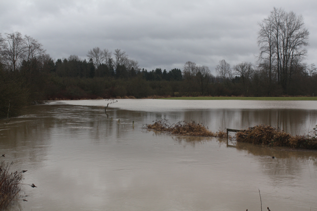
Flooding on the Fort Langley flood plain occurs regularly.
Before the dike and pumphouse were built, the area would flood several times over a period of a few weeks every spring until the height of the Fraser River waned.
But the floodplain continues to be prone to flooding whenever there is extended heavy rain. The channel cannot carry the amount of water descending from the uplands out to the mouth of the river because the floodplain is essentially flat. The water just doesn’t flow. Even if the pump was used year round or more pumps were added, it would make no difference because of the topography.
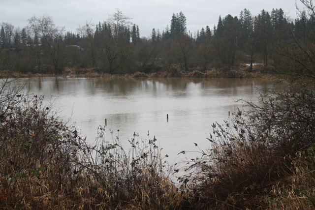
These photos were taken on Jan. 11, 2014. (Learn more.)
 Salmon River uplands (272nd St.)
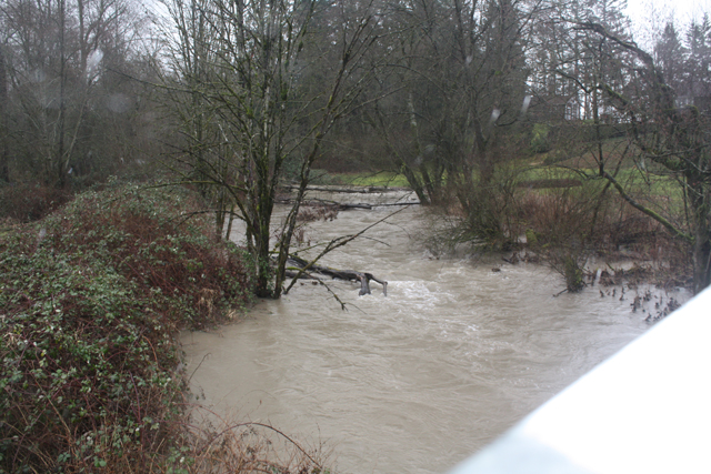 Salmon River (256th St.)
 Salmon River (248th St.)
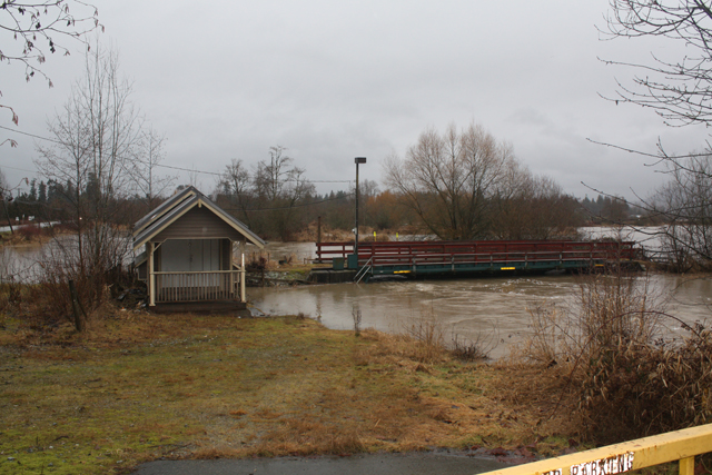
Salmon River fish trap (on Glover)
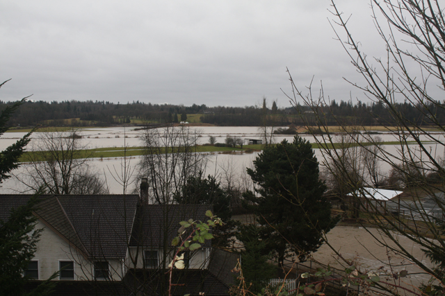
Fort Langley floodplain (Hudson Bay Rd.), Jan. 11, 2014