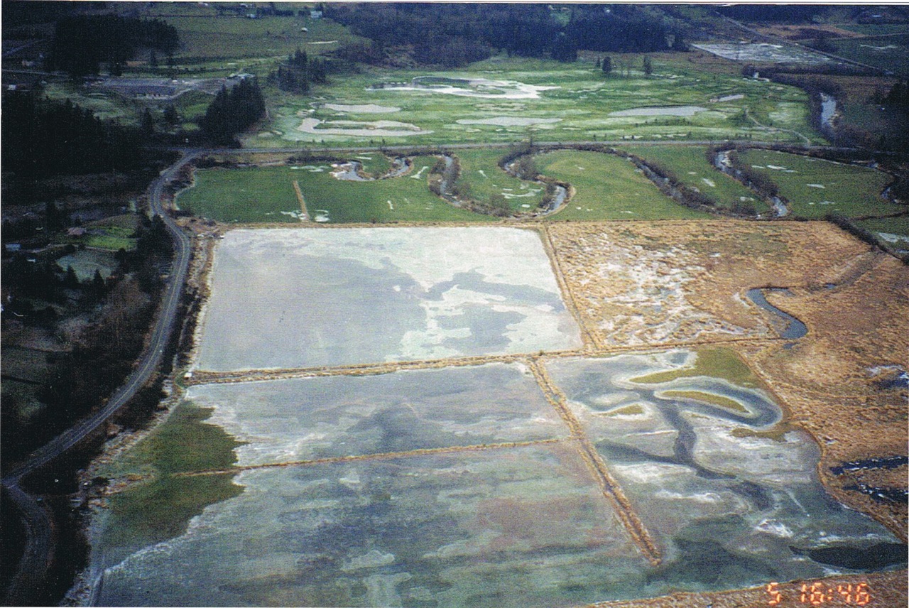
 Fort Langley flood plain
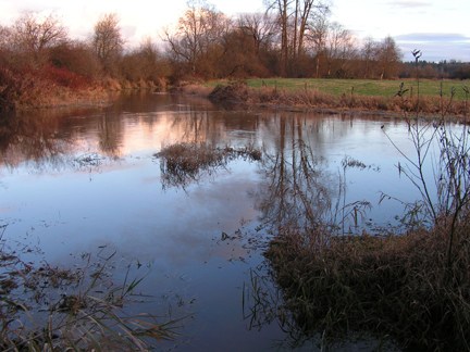
The Salmon River, south of Fort Langley and visible from Glover Rd., floods its banks several times each winter and during periods of heavy rain. It always has.
Floodplains and floodways hold large quantities of water after rain or snow events. In their natural state, these areas with their deep-rooted native plants filter out pollutants and chemicals from upstream, protecting the rivers’ water quality.
The Salmon River floodplain slows down water rushing from the uplands, allows sediment to settle out, and moderates temperature fluctuations. This protects water quality and the river’s ecology and recharges aquifers. The agricultural fields, under water a few days every year, benefit from the rich sediment deposits and is conducive to growing hay. In fact, farmers are able to harvest several crops over the growing season.
However, residents in the Salmon River watershed are reporting increasing incidents of flooding upstream. Rainwater is not getting into the ground or recharging aquifers.
This is due to the dramatic changes that have been taking place upstream, including the clearing of trees and levelling and filling of land for residential development and agriculture. Recently approved development in the area around Trinity Western University and the Wall Property will increase flooding in the Fort Langley area downstream. Retention ponds limit peak flows only slightly. Climate change is also playing a role.
So some Langley residents are advocating to have the Salmon River dredged and diked to prevent flooding.
Dredging works for navigation. It does not work as flood control for several reasons:
- It is massively expensive and must be done after every extreme flood because the river silts up again.
- Removing river bank vegetation such as trees and shrubs decreases bank stability, increases erosion, and makes rivers more dangerous.
- Deepening the river channel destabilizes bridges, culverts, and banks. This can increase the risk of flooding.
- Removing gravel from the river bed destorys spawning grounds and can lead to the loss of some fish species. Removing river bank soils destroys the habitat of river bank mammals.
The best way to resolve flooding problems upstream is to:
- plant more trees and vegetation in the uplands to hold back the water
- lower the banks to allow the river to create meanders which sap the river’s destructive energy
- pay landowners for storing rain water on their fields
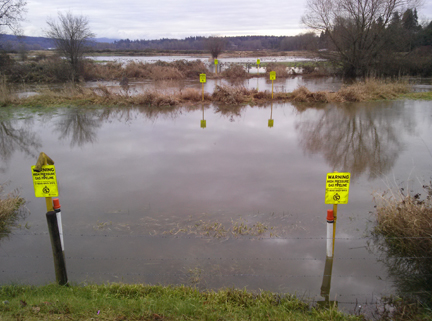
Flooding Nov. 28, 2014
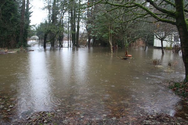
Flooding Jan. 11, 2014
News reports
Dredged Up
“It is counterproductive. But it keeps the farmers happy and allows the government to be seen to be doing something: something decisive and muscular and visible. And that, in these dismal times, appears to be all that counts.”
(George Monbiot blog, Jan. 30, 2014)
Forum focused of Fort floodplain
(Langley Times, May 28, 2013)
A balancing act involving the Salmon River
(Langley Times Editor Frank Bucholtz, May 28, 2013)
Information about Salmon River requested
(Annabel Young’s comprehensive letter, Langley Times, May 30, 2013)
Other issues
Farming impacts on Langley rivers
Water pipe causes environmental damage
Uncapped artesian wells draining aquifer
Water Sustainability Act
Kinder Morgan Pipeline
Development pressures
Rain/impervious surfaces
Flooding
Damn beavers!
Endangered species
Invasive species